Home / Where we work
Where we work
Drone surveys across India, from Gurugram
Our pilots and surveyors travel to projects across India, and our GIS team processes data for clients at home and abroad.
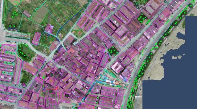 Delhi NCR
Drone survey company in Delhi NCR
Our office and survey teams are in Sector 48, Gurugram, so sites across Delhi, Gurugram, Faridabad, Noida and Manesar are close to home.
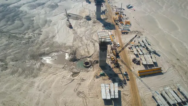 Uttar Pradesh
Drone survey in Uttar Pradesh
From highways and metro corridors to power transmission, DATA PKT surveys and maps infrastructure projects across Uttar Pradesh.
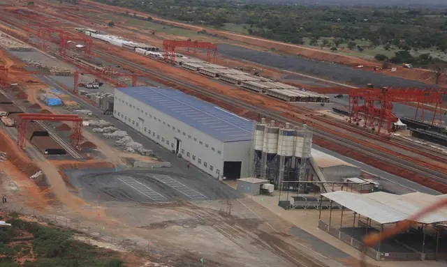 Maharashtra and Mumbai
Drone survey in Maharashtra and Mumbai
Railway work is the core of our projects in Maharashtra: surveys, Engineering Scale Plans and yard plans for Mumbai's suburban network and the lines beyond it.
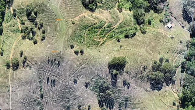 Northeast India
Drone survey in Northeast India
Our first highway drone work, in October 2020, was for NHIDCL projects in Nagaland and Manipur, around Dimapur and Kohima. Hill roads there are where drone and LiDAR surveys save the most time.
Across India and beyond
Our NHAI empanelment covers three zones, and our railway, power and highway work reaches well beyond these regions: clients also include Eastern Railway, Eastern Coalfields, IRCON International, ONGC, NTPC and GAIL. Our GIS team also processes LiDAR, mapping and drafting work remotely for clients outside India.
Send us the site KML or chainage and the outputs you need. We reply with a scope and quote.
Frequently asked questions
Which states does DATA PKT work in?
We work across India from our Gurugram office. Regions with regular work include Delhi NCR, Uttar Pradesh, Maharashtra and Northeast India, and our NHAI empanelment covers three zones.
Do you work outside India?
Our GIS team processes survey data remotely for clients outside India: LiDAR classification, mapping and drafting.