Since 2020Drone survey and GIS work across India from Gurugram
3 NHAI zonesEmpanelled for monthly drone survey work
100+ clientsPublic authorities, railways, PSUs and contractors
80+ contractorsHighway and infrastructure companies served
Clients in Northeast India
Our clients here include National Highways & Infrastructure Development Corporation (NHIDCL) and the Border Roads Organisation (BRO). See the full client list.
What we survey in Northeast India
- Hill highways: aerial imagery, video and survey for road projects
- Terrain under forest cover: drone LiDAR for the ground surface under trees
- Landslide-prone slopes: repeat surveys to compare change between flights
- Progress monitoring: monthly drone records of each package
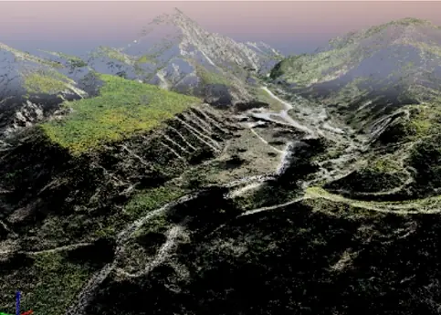
Working in Northeast India
Steep slopes, cloud and forest make ground survey slow in the hills. A drone covers a long stretch quickly, and LiDAR reaches the ground under trees where photos cannot.
Every survey is tied to DGPS ground control and checked against independent checkpoints, and delivered as drawings, GIS layers and reports in your coordinate system. Read what each deliverable is and what decides the cost.