Short answer: they do different jobs. DGPS gives a few points of very high accuracy, a total station measures detail where satellites or drones cannot reach, and a drone captures everything across the whole site. Most infrastructure surveys use all three: DGPS for control, a drone for coverage and a total station for hidden detail.
What each method does best
| Drone survey | DGPS | Total station | |
|---|---|---|---|
| What it captures | Every visible surface across the site | Individual points, very accurately | Individual points, including hidden ones |
| Coverage per day | Large areas and long corridors | Limited by walking between points | Limited by line of sight and set-ups |
| Under trees | Photos: no. LiDAR: yes | Weak signal under canopy | Yes |
| Safety near traffic or tracks | Staff stay off the carriageway or line | Staff walk the site | Staff work on site, often for long periods |
| Outputs | Orthomosaic, terrain models, contours, 3D | Control points, coordinates | Detailed points, levels, as-built data |
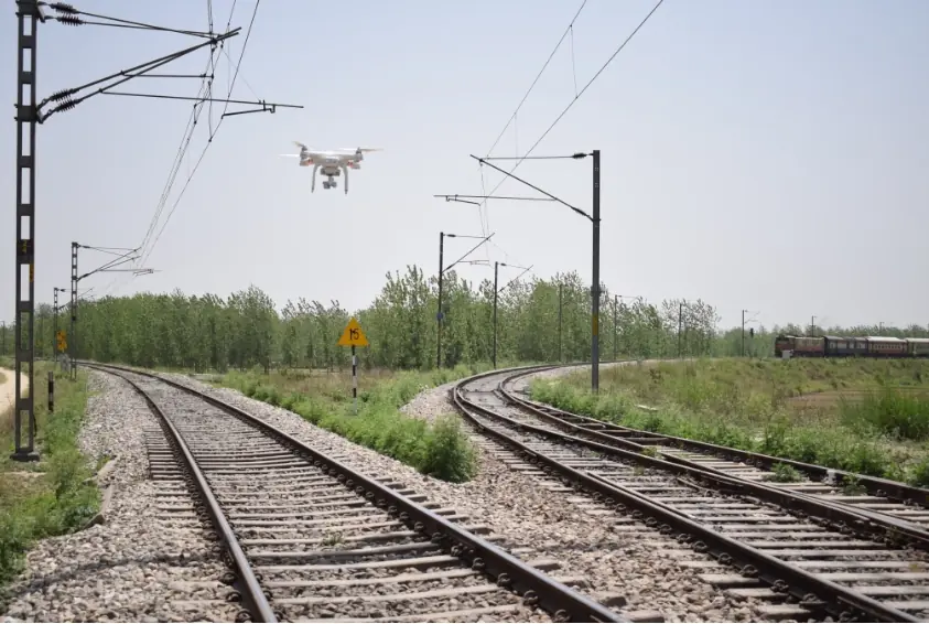
The combined workflow we use
- DGPS fixes ground control points and independent checkpoints in the project coordinate system.
- The drone flies the whole site or corridor, with RTK or PPK where available.
- Total station or DGPS picks up what the drone cannot see: ground under dense trees, inside culverts, structure levels.
- Processing merges everything into one terrain model and drawing set, and the checkpoints prove the final accuracy.
When a ground-only survey still makes sense
- Very small plots, where flight planning and processing outweigh the fieldwork saved
- Sites under continuous dense canopy, if LiDAR is not in budget
- Indoor, underground or under-bridge detail
- Red-zone airspace where flight permission is not available in time
For the accuracy side, read how accurate a drone survey is; for budgets, see what decides the cost.